CEDA Maps · Diagnostics
Roads and trees in data.
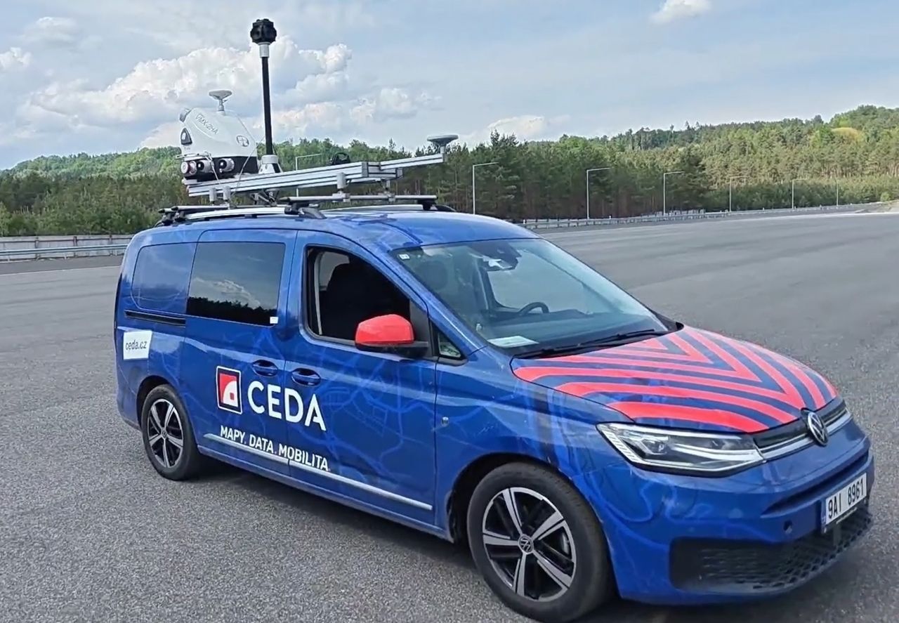
With mobile laser scanning we measure pavement condition, build digital road surface models and assess roadside trees. One survey drive, several deliverables.
- RIEGL VMX-2HAmobile laser scanning
- One drive, many outputsone scan, data reused across services
- Centimetre accuracyfrom pavement to tree crown
- Data for your systemsRoad Directorate, OpenCRG, tree management
Our services
Choose what you need
to know about your road.
Pavement assessment
Road IRI measurement
Longitudinal roughness over 20 m segments and by lane. Deliverables for pavement acceptance and the Czech Road Database.
View service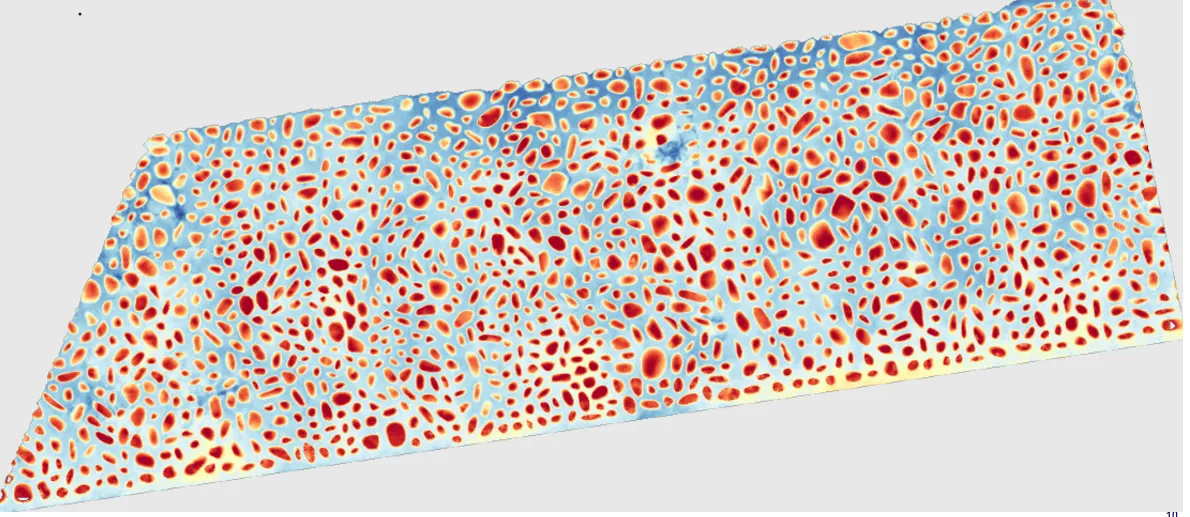
Road surface model
OpenCRG for simulation
An accurate road surface model with an elevation grid down to 1 × 1 cm for vehicle simulation.
View service
Tree analysis
Tree inventory and biomechanics
Position, dimensions and stability of every tree from a mobile street scan, with our partner Adbian.
View serviceLet’s talk
What do you need
to measure?
Send us the location, scope and required deliverables. We will recommend the right combination of services.