IRI roughness measurement
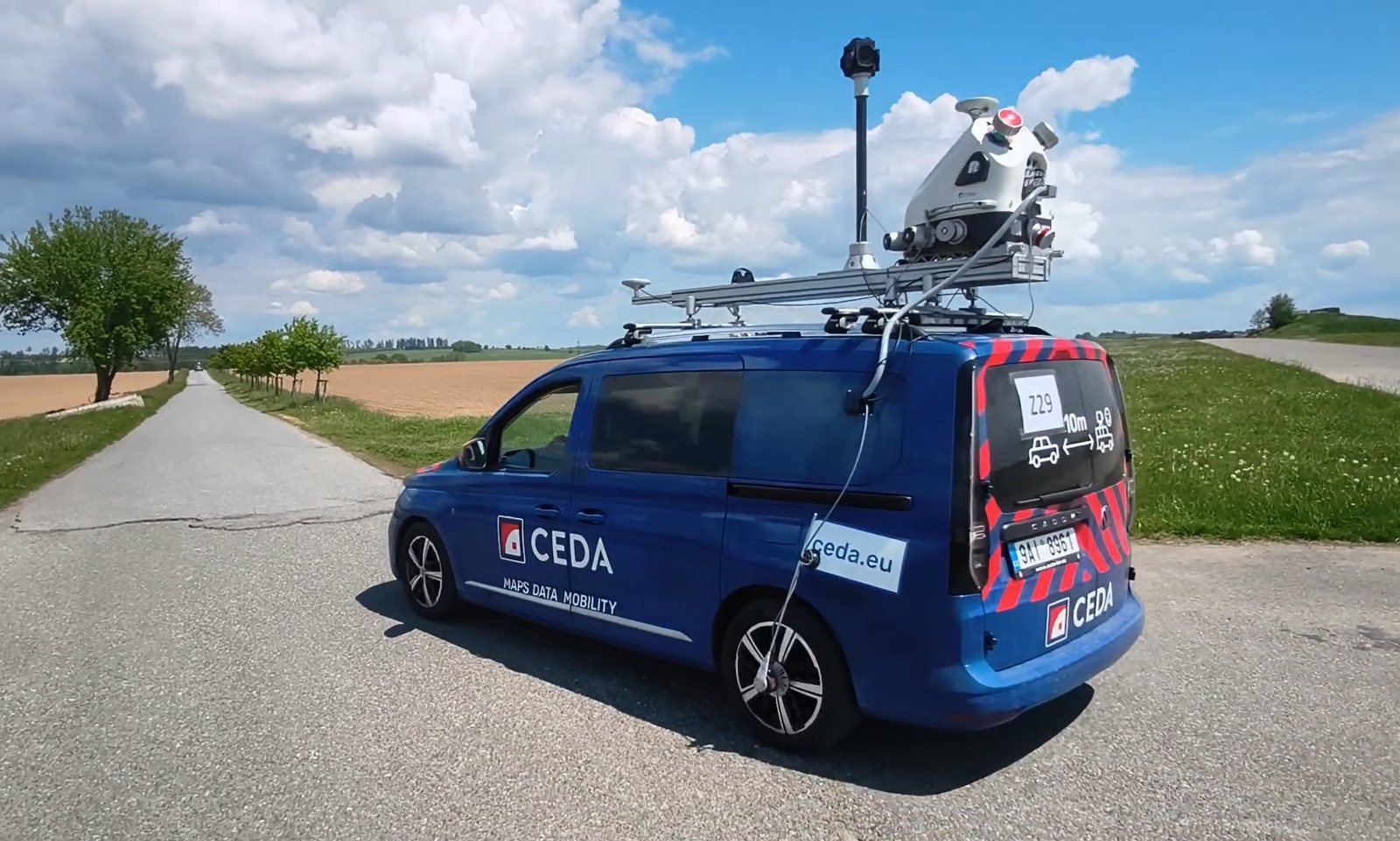
We measure the International Roughness Index (IRI) with a laser system and assess longitudinal pavement roughness in m/km over 20 m segments.
Objective assessment
Road pavement assessment
Accurate longitudinal roughness data
for pavement acceptance and maintenance planning.
01 / What you get
For road authorities and contractors. From acceptance of a new surface to locating sections that need attention.
We measure the International Roughness Index (IRI) with a laser system and assess longitudinal pavement roughness in m/km over 20 m segments.
Objective assessment
Exact locations of elevated roughness, with chainage and a detailed surface elevation grid.
Know where to act
A technical report, overview charts and structured data for further processing in the Czech Road Database.
Actionable evidence
02 / Measurement results
Explore real measurement data, switch between traffic lanes and select a segment in the chart.
Selected values from the measurement export · ULS chainage [m]
Want to know your pavement condition?
Detailed results
03 / How it works
Playing this video connects you to YouTube. Open on YouTube ↗
We agree on the road, chainage, traffic lanes and required deliverables.
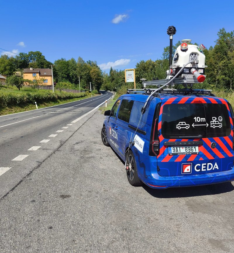
Our RIEGL VMX-2HA mobile system captures the pavement surface.
You receive IRI grades, locations of rough sections and evidence for the next steps.
Let’s talk
Send us the location, length of the road section and your target date. We will agree on the right survey scope together.